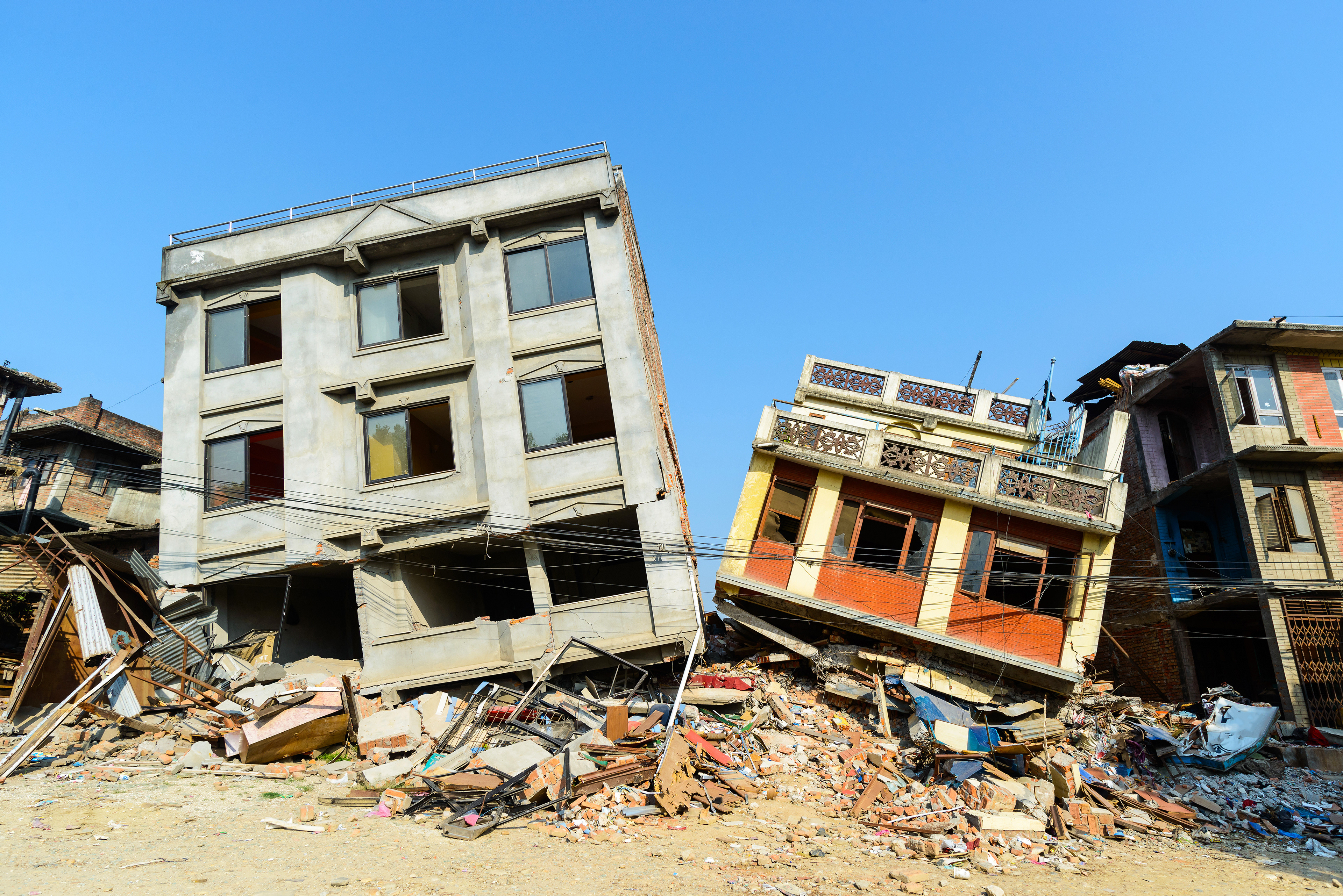
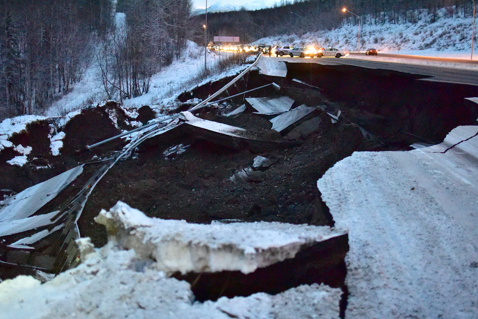
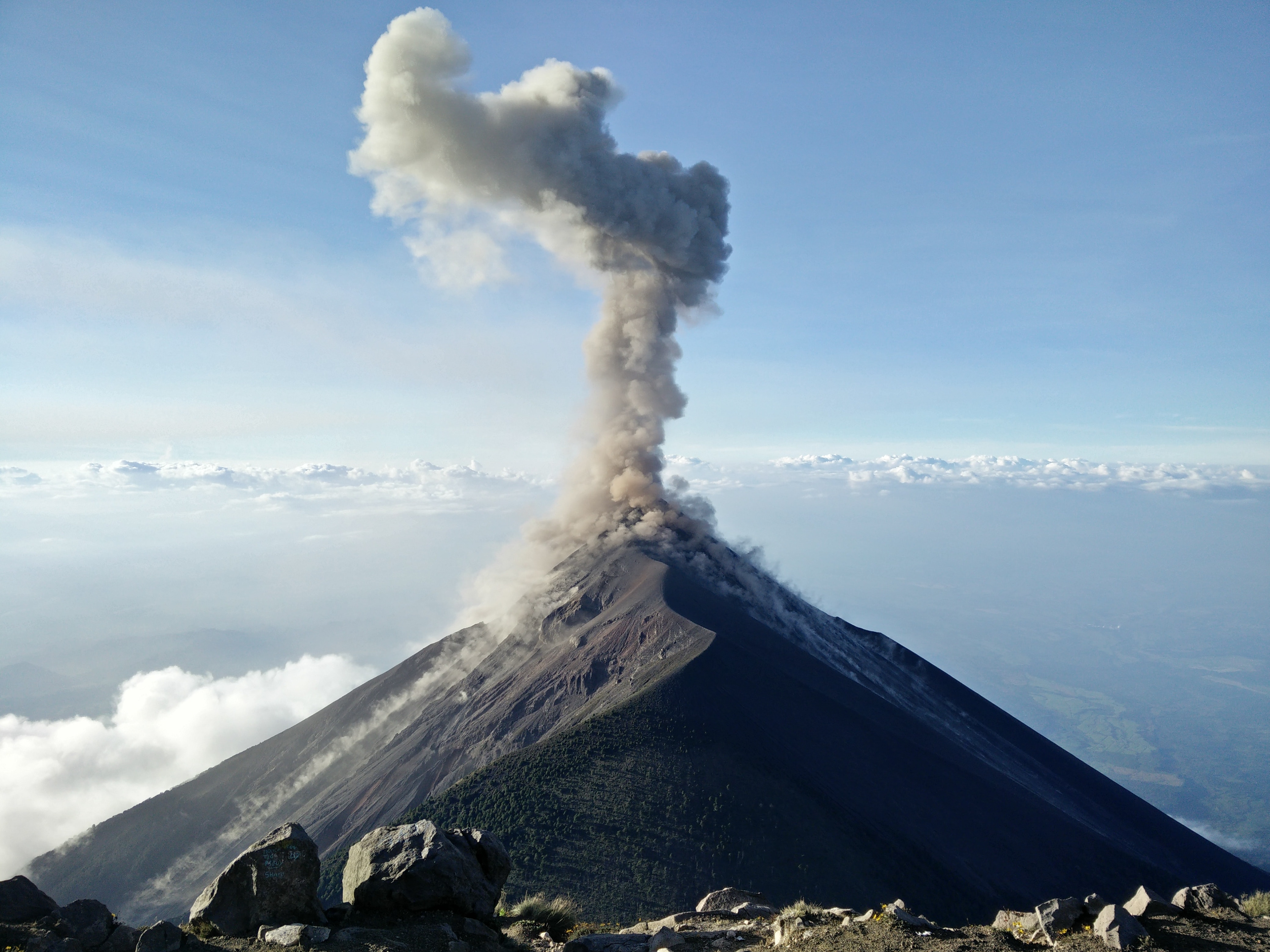
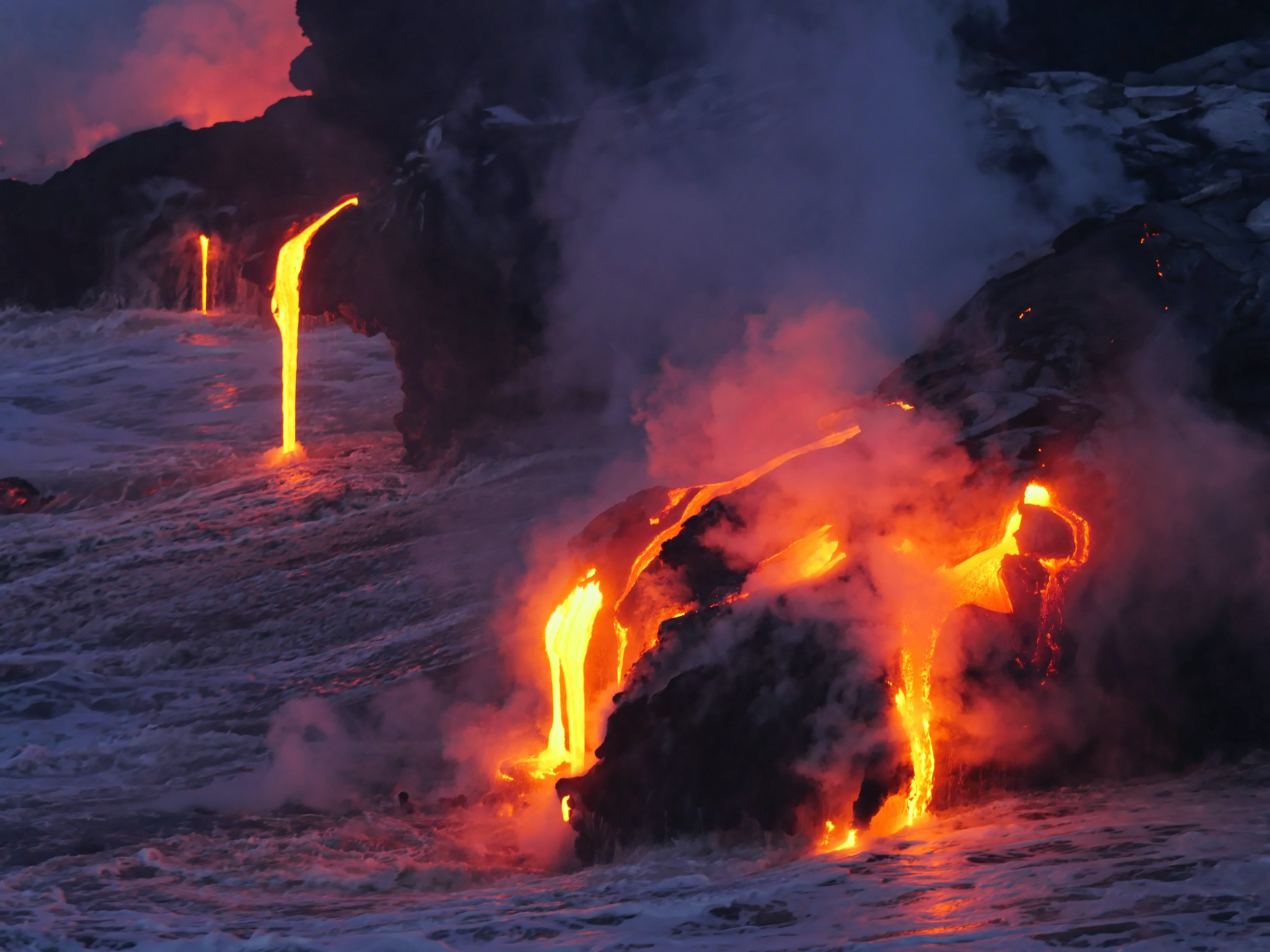
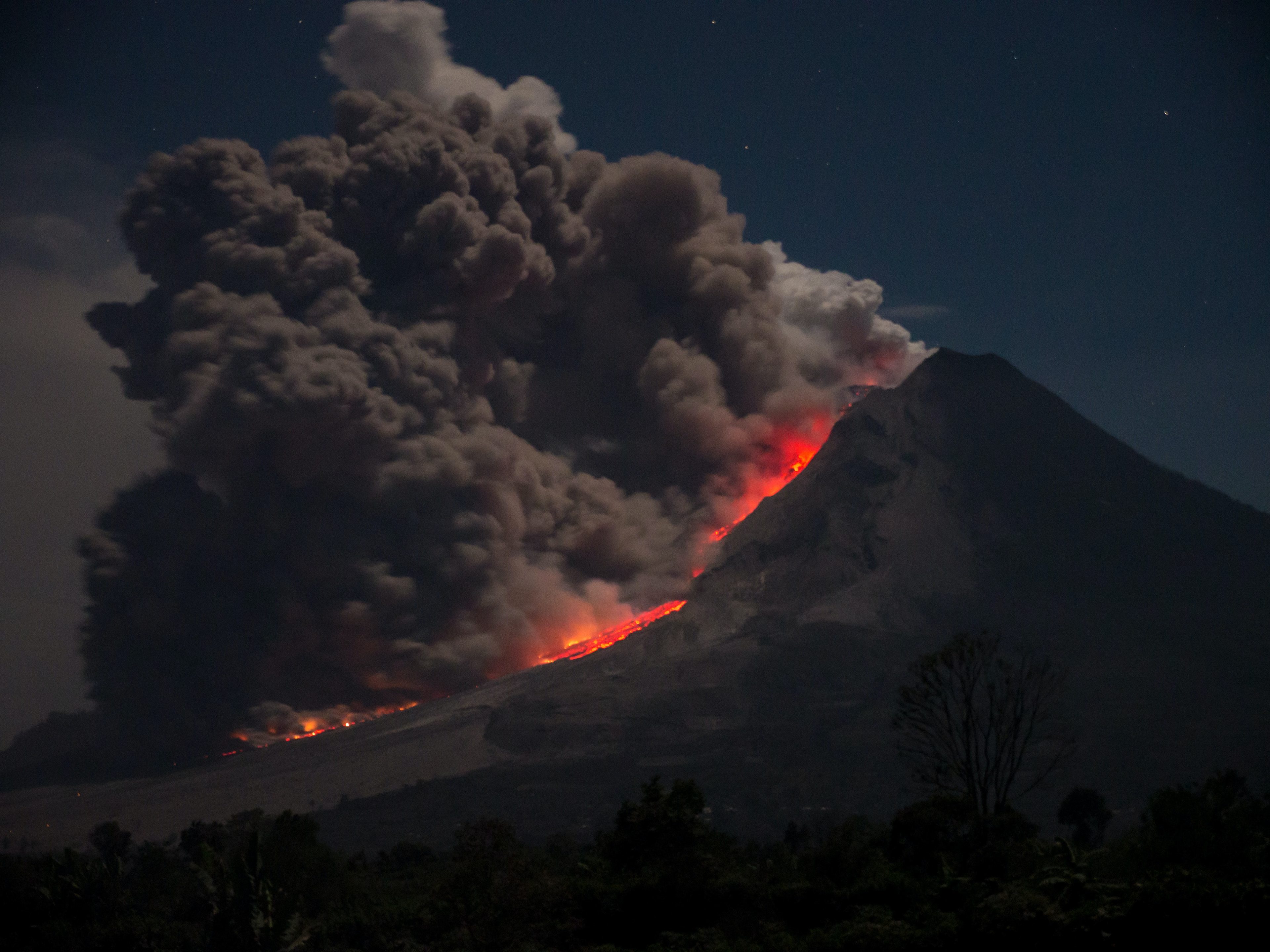
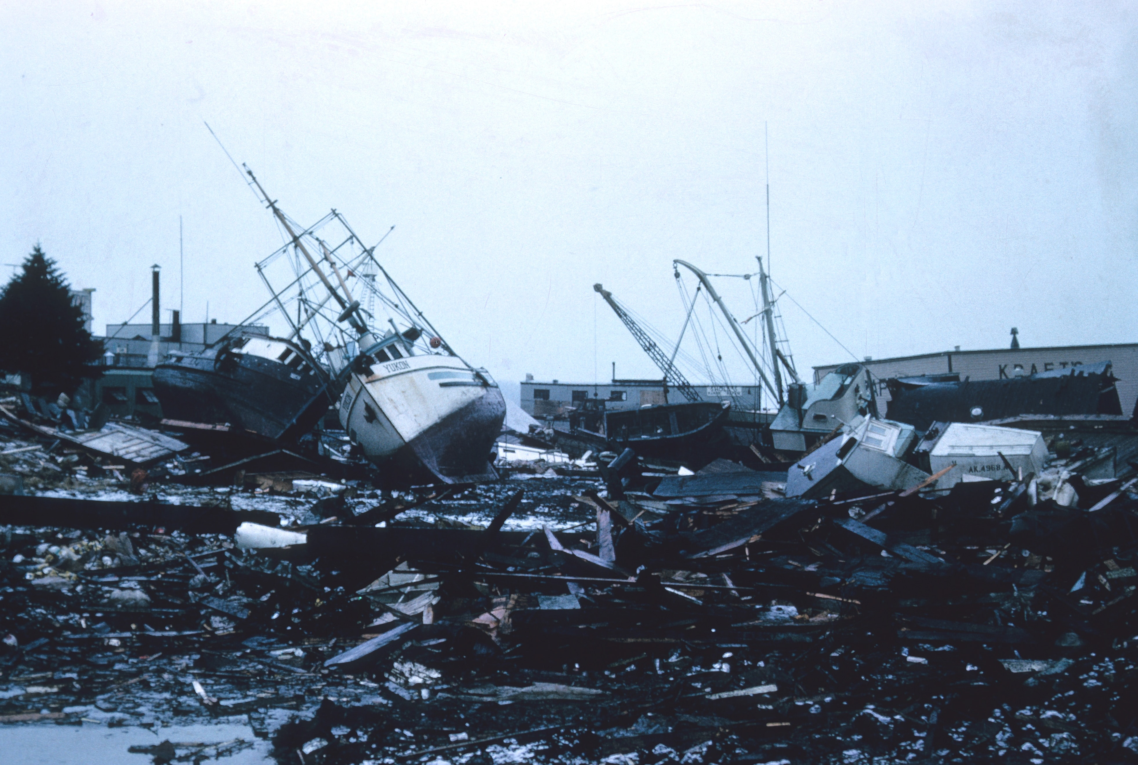
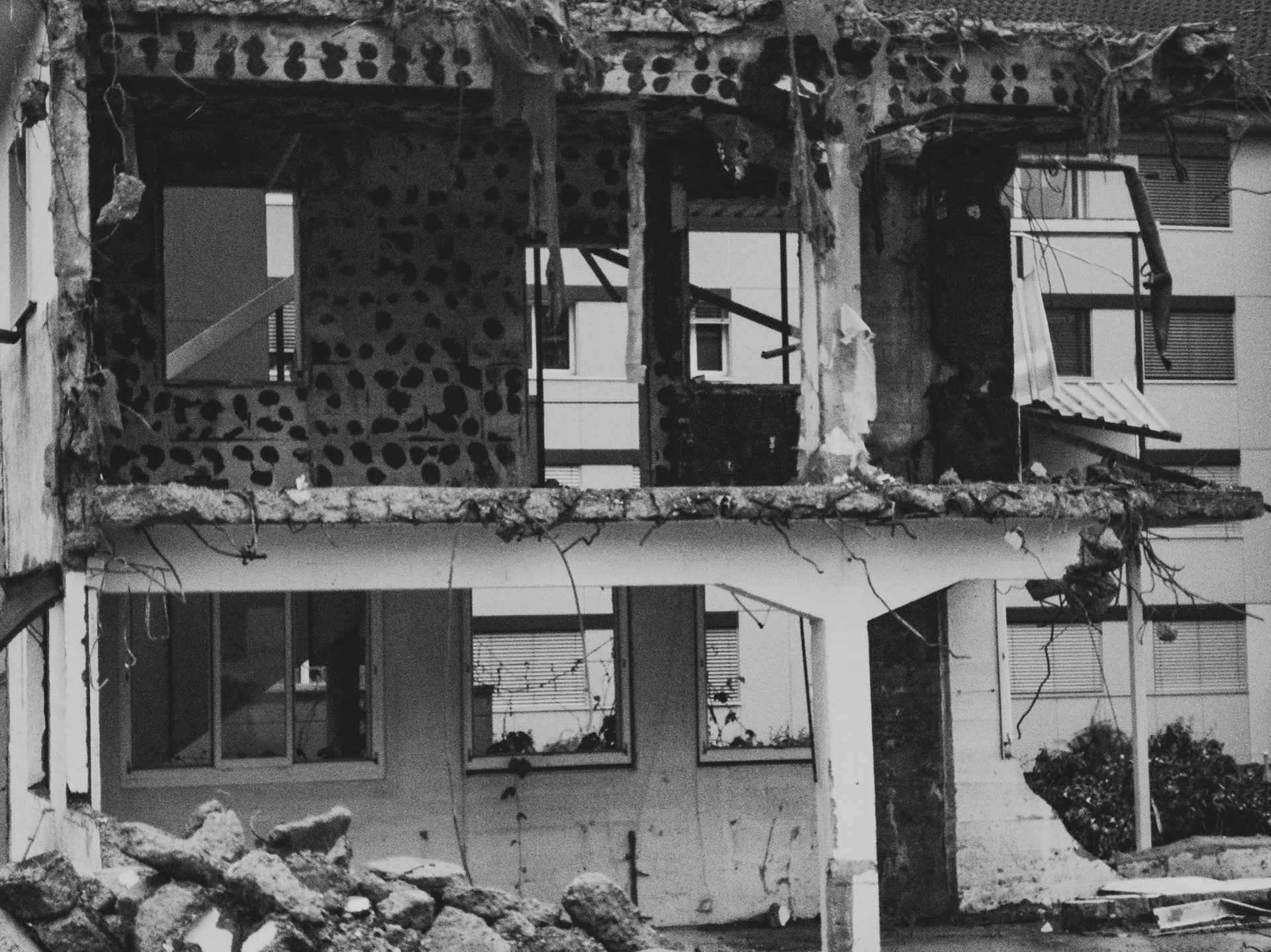
What happens when an earthquake strikes? What about when a volcano erupts? Where are earthquakes and volcanic eruptions likely to occur? Is it possible to predict when these natural disasters will happen? How can we prepare for earthquakes and volcanic eruptions to help minimize the damage?
You should be able to answer all of these questions after working through this activity, so let's get started!
What happens?
Watch the videos below to see what can happen when earthquakes strike and volcanoes erupt.
Where do they happen and why?
The Smithsonian National Museum has an interactive map that shows where earthquakes and volcanic eruptions have happened since February of 1960. Use the link below to see the map. You should notice a very clear pattern!
Similarly, Volcano Discovery has an interactive map that allows you to see earthquake and volcano data around the world. You can look at recent activity ranging from the last 24 hours to the last 2 weeks, or you can look up older data as far back as 2012. You can even check on specific countries around the world! You might just be surprised at just how much activity you will find!
Hopefully you noticed that earthquakes and volcanoes generally occur in the same places. If you have studied plate tectonics, you should also notice that earthquakes and volcanic eruptions occur primarily along tectonic plate boundaries. Some of these areas are more active than others, and have been identified as specific "belts" (as shown below).
Note: The Pacific Belt is sometimes called the "Circum-Pacific Belt," but is more commonly known as the "Ring of Fire" because of the volcanic activity.
To understand why these patterns exist, it is helpful to know what causes earthquakes and volcanoes in the first place. Watch the videos below to learn more about why these natural disasters happen.
Note: You don't need to watch all four videos. The first two explain earthquakes; the last two explain volcanoes.
Can we predict when & Where they will happen next?
Predicting where earthquakes and volcanic eruptions might happen is a little easier than predicting when they will happen, but scientists are constantly working to find new tools and methods for making such predictions. Let's look at a few of the tools scientists are currently using.
# 1. Historical records - Believe it or not, scientists are still piecing together evidence from oral histories passed down from generation to generation along with written records from around the world to better understand when and where natural disasters have occurred historically.
# 2. Seismographs - Scientists use machines called seismographs to monitor earthquakes around the world. When an earthquake strikes, seismologists can analyze the data from three different locations to help them pinpoint where the earthquake happened (i.e., the epicenter). They do this using a process known as triangulation. You can learn more about this process using the Virtual Seismograph activity in the challenges/extension section. They can also use this data to determine the magnitude of the earthquake. Moreover, if the earthquakes are near volcanoes, the scientists can start making predictions about potential volcanic activity.
# 3. Core Samples - Geologists can drill deep inside Earth's crust and pull out layers of Earth's history in a cylindrical tube called a core sample. Once a sample has been collected, the geologists closely analyze the rocks and soil to determine what the environment used to be like and whether or not certain types of natural disasters have occurred.
# 4. Radon Gas - In the last decade or so, scientists noticed something unique that might help them predict earthquakes and eruptions. They noticed an increase in the concentrations of radon gas in the soil and/or groundwater. This gas is released as the tectonic plates start to move around.
# 5. GPS - Scientists use GPS to monitor certain types of volcanic activity such as inflation. Sometimes before eruptions happen, gasses get trapped, causing part of the volcano to inflate like a balloon before it erupts. This, along with seismograph data can be used to help predict volcanic activity.
Together these tools have helped scientists make predictions about where earthquakes might happen in the future, Unfortunately, we aren't able to predict them with enough accuracy to inform people in advance and give them time to respond before it happens. Volcanoes are a slightly different story though. Sometimes, scientists are able to use this data to figure out that a volcano is on the verge of erupting. They can even make predictions about how explosive the volcano might be. This gives them the opportunity to notify people who might be affected, giving them time to make preparations and get to a safe location. This doesn't always happen though. Like earthquakes, volcanoes can erupt quickly and without warning.
A great example of how scientists have used these tools to make predictions about when the next big earthquake will strike the Pacific Northwest is linked below (The Really Big One). This is a lengthy article, but an excellent read if you are curious about what is forecasted for the area in which we live. A shorter TedEd video is also linked below to summarize why it is so difficult to predict when and where earthquakes will happen.
How can we prepare for earthquakes & Eruptions?
If you know that you live near a fault line or active volcano, it is a good idea to have an emergency preparedness plan in place. After all, we just learned that predicting them and giving advance notice isn't always possible! If you're not sure whether or not you are at risk, you should go back to the "Where do they happen and why?" section and take a closer look at the area you live in. Keep in mind that the last big Cascadia Subduction zone earthquake (along the western coast of the United States) in 1700 sent a Tsunami all the way to Japan. So, just because you aren't right on the fault, doesn't mean you won't feel the effects!
Use the resources below to learn more about earthquake and volcano preparedness. You will find information about how you and your family can prepare, along with information about how buildings are being structured to minimize the damage of earthquakes.
Challenges/Extensions
Choose at least one of the following activities to complete.
1. Complete the Virtual Seismograph activity to pinpoint where an earthquake happened. Make sure you read the information on the left of the interactive; it explains how to complete the activity.
2. Play the Beat the Quake game to determine how well you understand earthquake preparedness. Don't forget to keep track of your score. Were you able to get all 18 points? If not, what did you miss?
3. Develop an emergency preparedness plan and kit with your family so that you are ready if an earthquake happens and/or volcano erupts near you. See the preparedness links above for help with this activity.
4. Choose a volcano that you think would make a popular tourist attraction and create a travel brochure to market a “dream” vacation. Your brochure should be colorful and engaging, well designed, include images, and market to a specific type of traveler (family friendly, romantic couples getaway, adventurer, outdoor extremist, leisure and relaxation, etc.).
5. Take notes as you learn more about the different types of volcanoes, explosiveness, and effects of eruptions using this All about Volcanoes presentation.
6. Make your own seismograph as shown below.
7. Make a volcanic eruption! Feel free to get creative with how you make your volcano - it doesn't need to look exactly like the one in the video.
8. Consider how volcanoes form and erupt, and watch the following video. Identify at least two things the video gets right about volcanoes and at least two things that are not true about volcanoes. (Saying the volcanoes can sing doesn't count!) It may be helpful to look over the All about Volcanoes presentation or review how volcanoes form and erupt above.